Bearsden Conservation Area
Bearsden Conservation Area
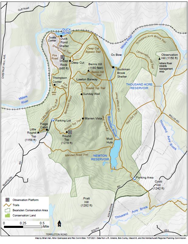
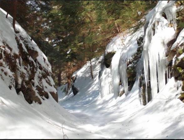
 Ten miles of trails crisscrossing 1,568 acres of forest, some climbing hills with wonderful views of the Millers River and of mountains near and far; some leading down to the river itself; some, like those that parallel stone walls and traverse a cut through rock ledge, revealing human history - all of this and more await visitors to the premier conservation area of the town of Athol.
Paige Cabin and Shelter Reservations
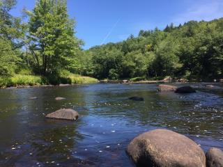
Fishing Access on Millers River
Special Catch and Release section of Millers River
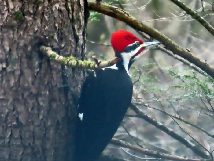
A strenuous climb takes visitors to Round Top, at 1,278 feet Athol’s second-highest hill, and to Warren’s Vista, each with panoramic views of the valleys around. Other trails lead to the Newton Reservoir. No longer a water supply but still a lovely pond; to Duck Pond, a haven for waterfowl; to the Ox-Bow, a curve in the river and a popular picnic spot; and to a magnificent wetland known as Thousand-Acre Swamp. Visitors can listen to the songs of myriad birds and find evidence of other wildlife that frequents Bearsden.
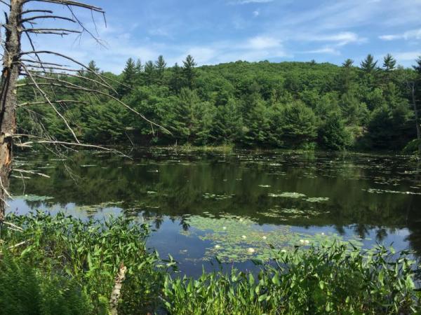
View of the Duck Pond below
Since the 1970s, the 950-acre Bearsden Conservation Area has provided the core of an extensive interior forest reserve from South Royalston and Phillipston to Athol along a remote section of the Millers River. The area is composed of 14 parcels in excess of 951 acres permanently protected and under the control of the Athol Conservation Commission. This project is an outgrowth of a larger planning process undertaken by the Athol Conservation Commission, under Commission Chair Bob Muzzy, beginning with a Forest Stewardship Plan developed in 2011. The plan was prepared by Licensed Forester Michael Mauri. Financial assistance was provided by DCR.
Download and print a copy of this map