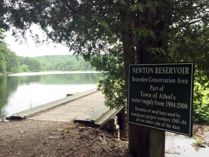
Newton Reservoir
Newton Reservoir
Long managed by the Athol Conservation Commission the Newton Reservoir was developed as part of the Athol Water System from 1904 to 2000. No longer needed for public drinking water supply the Department of Public Works turned over care and control of the areas to the ACC.
Directions
To reach the trailhead for Newton Reservoir Take South Royalston Road off Templeton Road (route 2A) in Athol. This is just west of the Market Basket lights. Follow South Royalston Road for 1.1 miles to a yellow gate on the left. Parking is available on the right opposite the gate.
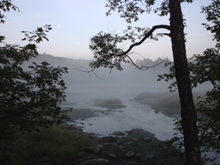
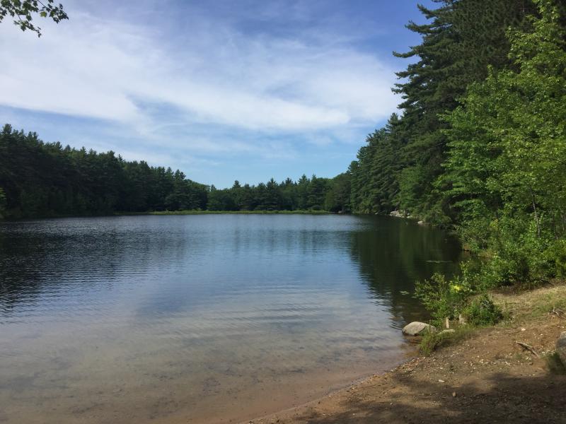 The image below is near the Newton Reservoir Dam
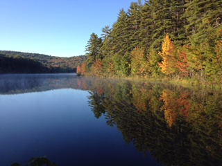
An autumn image of the reservoir
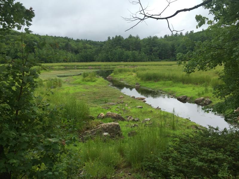
Scenery is wonderful the year round
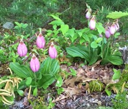
Lady Slippers are abundant in the Oak-Pine forest.
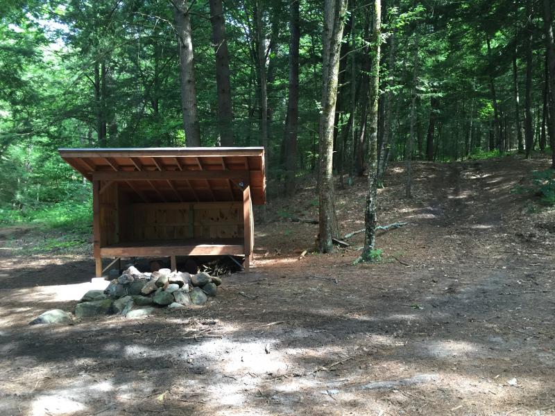
The Buckman Brook Shelter was constructed as an Eagle Scout Project by Paul Forand and his many helpers. The shelter sits near the confluence of Buckman Brook and the Millers River in an area know as the Oxbow. A permit to use the cabin for free can be obtained through the Town Of Athol Website:
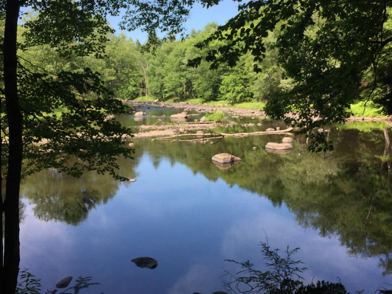
Views of the Millers River from the shelter site. Beautiful even in mid-summer drought conditions. This area of the Millers is a Catch and Release section of the river with great trout fishing.
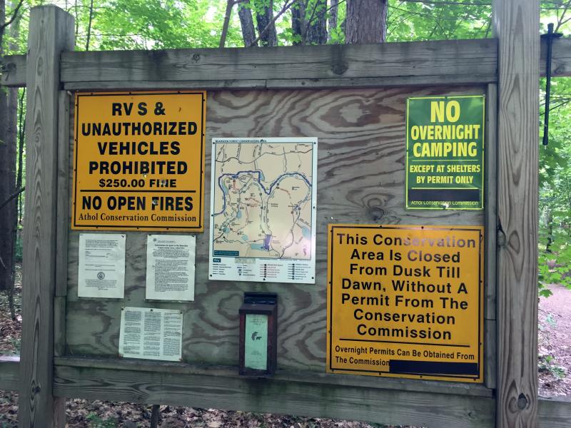
Please obey all informational signs. and enjoy your visit to one of North Quabbin's hidden treasures
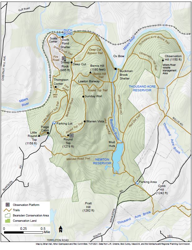
Trail Map